Last Tow transforms with an insights-oriented data solution
Modus Create partnered with Last Tow to build a custom data flow that ingests Vessel Monitoring System data and unifies scattered geospatial sources. As a result, Last Tow can now deliver precise insights on fishing patterns.

Table of contents
Subscribe via Email
Subscribe to our blog to get insights sent directly to your inbox.
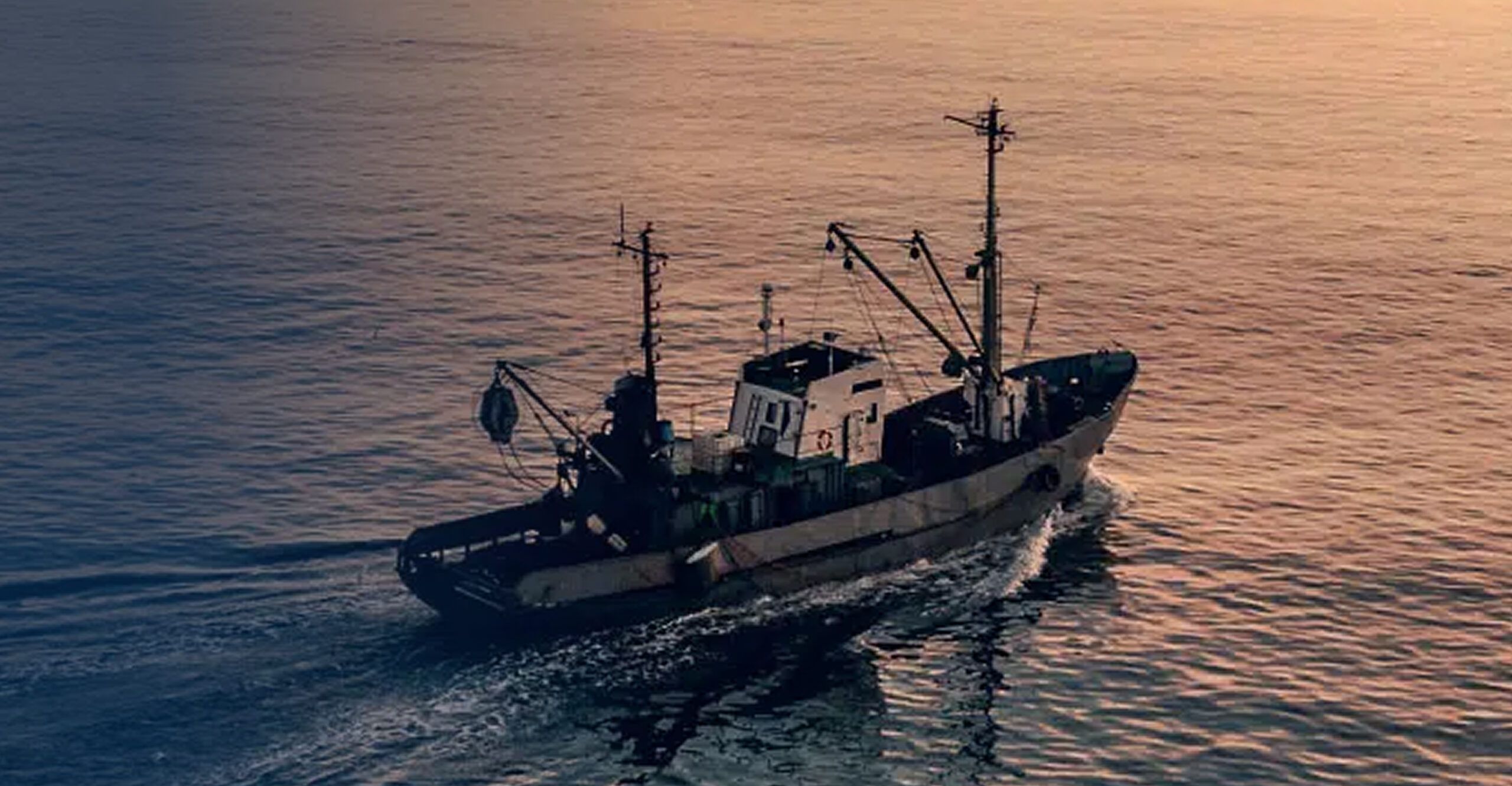
Last Tow partnered with Modus Create to map surf clam fishing activity in waters leased for offshore wind development. Together, we built a custom data flow that ingests Vessel Monitoring System (VMS) data, unifies scattered geospatial sources, and turns it all into sharp, actionable visualizations. As a result, Last Tow can now deliver precise insights on fishing patterns, enabling more informed mitigation and compensation strategies to support fisheries as offshore wind energy development moves forward.
Our work involved
- Custom data pipeline development
- Unified dataset development
- Heat maps, polar plots, and vessel path visualization
- GitHub for CI/CD and documentation
Impact
10,000+
Evidence-based
Reusable
Offshore wind farms promise a cleaner future. But when they’re placed in active fishing zones, they can threaten livelihoods built over generations. That tension came to a head for Last Tow, a marine consultancy firm engaged to represent fishing interests and analyze surf clam fishing activity in a proposed wind lease zone.
Where do vessels operate most? How to ensure new cable corridors don’t disrupt fishing operations? Answering these questions was critical to ensure that progress in renewable energy didn’t come at the cost of sustainable fishing.
Challenge: Fragmented and complex data
Last Tow knew that raw data from Vessel Monitoring System (VMS) logs would be essential to understand the surf clam fishing activity. The data was available from the government. However, it was filtered through data exports from four separate fishery companies. This often led to discrepancies such as missing columns, inconsistent encodings, mismatched schemas, and unaligned geospatial formats.
The team also needed to identify specific vessel movements, distinguish towing activity from transit, and analyze trends over time. Adding to complexity, geospatial data for lease boundaries, cable corridors, and coastlines came in yet another set of formats.
Therefore, Last Tow decided to standardize everything into a usable model that delivers accurate and practical insights. It teamed up with Modus Create to work on the project.
Solution: A transparent, insight-oriented analytics solution
Phase 1: Engineering a clean and unified dataset
Our data engineers started by working closely with the Last Tow team to ingest and unify all available datasets. We used PySpark to process large volumes of raw data, classify activities, and organize trips based on vessel IDs and timestamps. We employed tools like ogr2ogr, GeoPandas, and GeoPy to standardize geospatial boundaries for the lease area, cable corridors, and coastal limits. This helped us create a custom data pipeline to handle large amounts of data.
Phase 2: Visualizing fishing patterns
With structured data in place, the team was ready for the next critical phase: visualization. We created custom visuals to highlight key fishing patterns:
- Heat maps spotlighted zones with high-intensity towing
- Year-by-year vessel paths captured spatial behavior over time
- Polar plots illustrated the directionality of vessel travel within the lease area
- CSV summaries surfaced visit counts for each location
- Longest and shortest vessel paths helped identify voyage outliers
These visualizations empowered fishing stakeholders, alongside planners and environmental consultants, with a clear view of how fishing operations interact with proposed wind energy infrastructure.
Phase 3: Environmental consultation and documentation
One important component of the engagement was helping Last Towidentify the most experienced surf clam captains operating within the lease area. Using our vessel-level analysis, we pinpointed those with the highest levels of activity, a critical input for benthic condition assessment and ecological planning.
To ensure transparency and reusability,we set up a shared GitHub repository and implemented GitHub Actions for continuous integration and version control. Every update, visualization, and output was documented, allowing the Last Tow team to build on the work for future engagements or regulatory reviews.
Impact
A clear view of active fishing zones
- The most active fishing zones to avoid conflicts during turbine placement
- Long-term vessel movement patterns to support multi-year planning
- Key vessels and captains for targeted benthic impact evaluations
This level of visibility was a game-changer. It allowed stakeholders from both the energy and fishing sectors to sit at the same table, backed by a shared understanding of the data.
Most importantly, the project proved that renewable energy development and commercial fishing don’t have to be at odds. When industries collide, data builds the bridge. And when that data yields precise, actionable insights, the future becomes a little more sustainable for everyone.
Related Customer Stories
Discover more customer stories.


